Football pavilion, Dundonald
Introduction
The photograph on this page of Football pavilion, Dundonald by Albert Bridge as part of the Geograph project.
The Geograph project started in 2005 with the aim of publishing, organising and preserving representative images for every square kilometre of Great Britain, Ireland and the Isle of Man.

There are currently over 7.5m images from over 14,400 individuals and you can help contribute to the project by visiting https://www.geograph.org.uk
Football pavilion, Dundonald
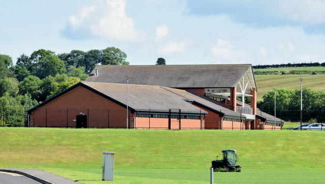
Image: © Albert Bridge Taken: 4 Aug 2014
The commodious pavilion at Castlereagh Borough Council’s Billy Neill MBE Centre of Excellence, on to the Comber Road.
Images are licensed for reuse under creativecommons.org/licenses/by-sa/2.0
Image Location
Latitude
54.579212
Longitude
-5.780333