Playing Field, Sayers Common
Introduction
The photograph on this page of Playing Field, Sayers Common by Simon Carey as part of the Geograph project.
The Geograph project started in 2005 with the aim of publishing, organising and preserving representative images for every square kilometre of Great Britain, Ireland and the Isle of Man.

There are currently over 7.5m images from over 14,400 individuals and you can help contribute to the project by visiting https://www.geograph.org.uk
Playing Field, Sayers Common
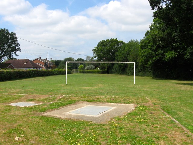
Image: © Simon Carey Taken: 31 Jul 2014
Lying immediately to the north of Reeds Lane and indeed once part of Sayers Common, an open area of ground that existed here well before the houses arrived.
Images are licensed for reuse under creativecommons.org/licenses/by-sa/2.0
Image Location
Latitude
50.949346
Longitude
-0.199411