Distances from Llangynidr Village Hall
Introduction
The photograph on this page of Distances from Llangynidr Village Hall by Jaggery as part of the Geograph project.
The Geograph project started in 2005 with the aim of publishing, organising and preserving representative images for every square kilometre of Great Britain, Ireland and the Isle of Man.

There are currently over 7.5m images from over 14,400 individuals and you can help contribute to the project by visiting https://www.geograph.org.uk
Distances from Llangynidr Village Hall
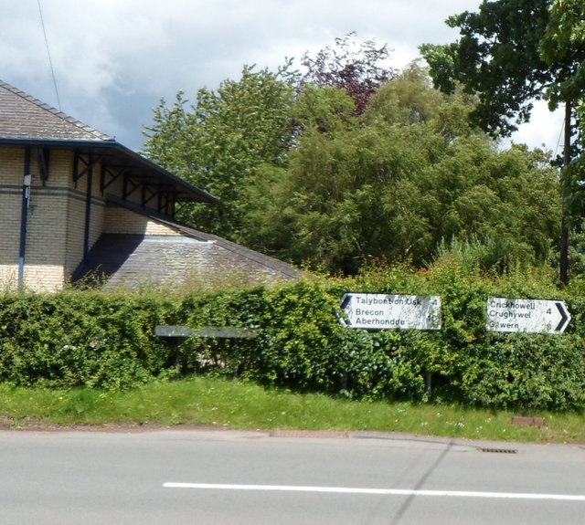
Image: © Jaggery Taken: 17 Jun 2012
The signs are alongside the B4558 at the Duffryn Road junction. The village hall http://www.geograph.org.uk/photo/4103047 is on the left. Left on the B4558 for Talybont on Usk (4 miles) and Brecon (10) Right on the B4558 for Crickhowell (4) and Gilwern (8).
Images are licensed for reuse under creativecommons.org/licenses/by-sa/2.0
Image Location
Latitude
51.868389
Longitude
-3.22707