Oxford Crescent
Introduction
The photograph on this page of Oxford Crescent by James Emmans as part of the Geograph project.
The Geograph project started in 2005 with the aim of publishing, organising and preserving representative images for every square kilometre of Great Britain, Ireland and the Isle of Man.

There are currently over 7.5m images from over 14,400 individuals and you can help contribute to the project by visiting https://www.geograph.org.uk
Oxford Crescent
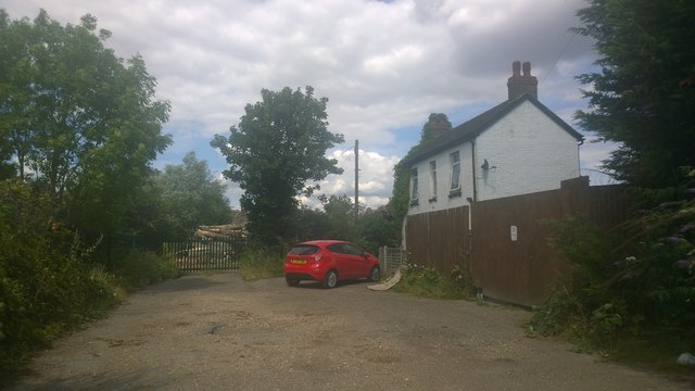
Image: © James Emmans Taken: 3 Aug 2014
Very short road that does not appear on a lot of maps, it has only two houses. The road severs as an entrance to storage areas that used to be a nursery.
Images are licensed for reuse under creativecommons.org/licenses/by-sa/2.0
Image Location
Latitude
51.442429
Longitude
-0.43118