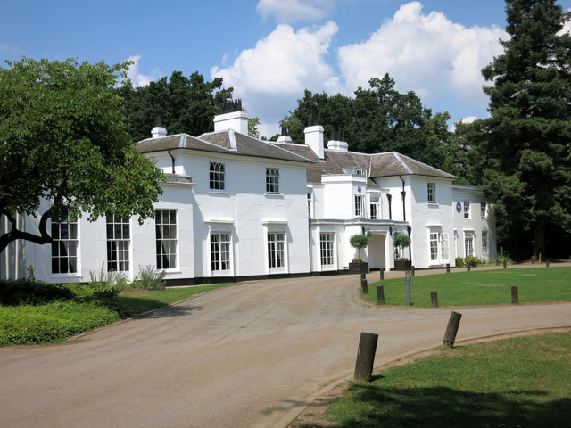
The White House, Gilwell Park
Introduction
The photograph on this page of The White House, Gilwell Park by Des Blenkinsopp as part of the Geograph project.
The Geograph project started in 2005 with the aim of publishing, organising and preserving representative images for every square kilometre of Great Britain, Ireland and the Isle of Man.
There are currently over 7.5m images from over 14,400 individuals and you can help contribute to the project by visiting https://www.geograph.org.uk

Image: © Des Blenkinsopp Taken: 24 Jul 2014
Built in the 1750s on the site of an earlier house, Osborne Hall. The house has had a succession of owners including The Treasury who took it over in 1812 after its then owner had been caught embezzling large sums from the national funds. It was acquired by the Scout Association in 1919 and continues to be used by them as a conference and training centre. House and Gilwell Park history on http://en.wikipedia.org/wiki/Gilwell_Park

