House Field/Lower Starve Crow
Introduction
The photograph on this page of House Field/Lower Starve Crow by Simon Carey as part of the Geograph project.
The Geograph project started in 2005 with the aim of publishing, organising and preserving representative images for every square kilometre of Great Britain, Ireland and the Isle of Man.

There are currently over 7.5m images from over 14,400 individuals and you can help contribute to the project by visiting https://www.geograph.org.uk
House Field/Lower Starve Crow
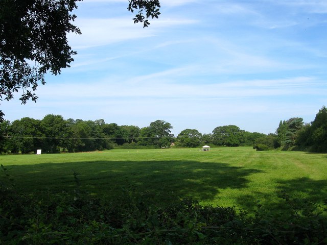
Image: © Simon Carey Taken: 31 Jul 2014
The name of the fields according to Hurstpierpoint's 1842 tithe map that have been joined together to make a larger unit. House Field was in the foreground adjacent to Image and once included a section to the north now occupied by Image and Hickstead Park, Lower Starve Crow was in the distance and lies to the south of Image and Image Both fields are now part of the grounds of Hickstead Showground and on this day were being readied for use as a car park for Longines International Horse Show.
Images are licensed for reuse under creativecommons.org/licenses/by-sa/2.0
Image Location
Latitude
50.954254
Longitude
-0.196943