Oldwich Lane
Introduction
The photograph on this page of Oldwich Lane by David Stowell as part of the Geograph project.
The Geograph project started in 2005 with the aim of publishing, organising and preserving representative images for every square kilometre of Great Britain, Ireland and the Isle of Man.

There are currently over 7.5m images from over 14,400 individuals and you can help contribute to the project by visiting https://www.geograph.org.uk
Oldwich Lane
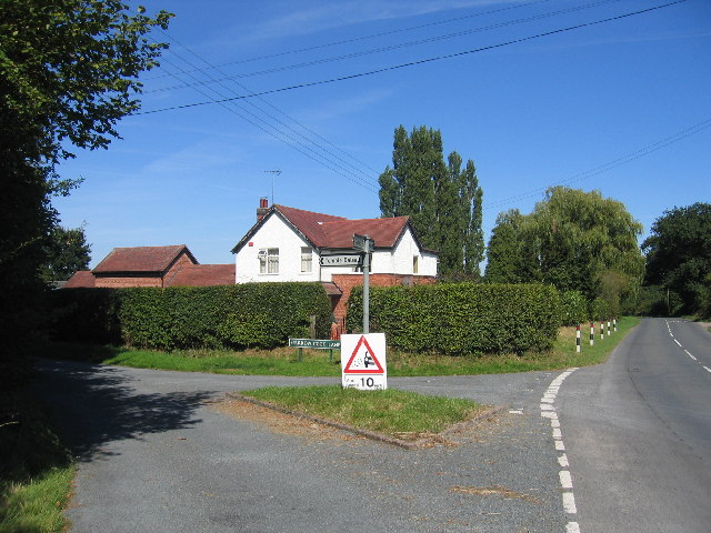
Image: © David Stowell Taken: 21 Aug 2005
The junction of Sparrow Cock Lane with Oldwich Lane West, with Rosemary Farm visible over the hedge.
Images are licensed for reuse under creativecommons.org/licenses/by-sa/2.0
Image Location


Leaflet Map data © OpenStreetMap
Latitude
52.36185
Longitude
-1.690106