Bude canal aqueduct
Introduction
The photograph on this page of Bude canal aqueduct by David Hawgood as part of the Geograph project.
The Geograph project started in 2005 with the aim of publishing, organising and preserving representative images for every square kilometre of Great Britain, Ireland and the Isle of Man.

There are currently over 7.5m images from over 14,400 individuals and you can help contribute to the project by visiting https://www.geograph.org.uk
Bude canal aqueduct
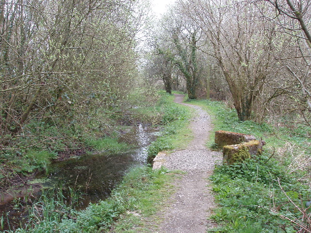
Image: © David Hawgood Taken: 15 Apr 2007
Seen just below the Tamar Lakes, the aqueduct was originally dug starting in 1823 to provide water for the Bude Canal. See Bude Canal and Harbour Society http://www.bude-canal.co.uk/ for canal restoration project.
Images are licensed for reuse under creativecommons.org/licenses/by-sa/2.0
Image Location


Leaflet Map data © OpenStreetMap
Latitude
50.871167
Longitude
-4.422721