Low Water in the Lido
Introduction
The photograph on this page of Low Water in the Lido by Des Blenkinsopp as part of the Geograph project.
The Geograph project started in 2005 with the aim of publishing, organising and preserving representative images for every square kilometre of Great Britain, Ireland and the Isle of Man.

There are currently over 7.5m images from over 14,400 individuals and you can help contribute to the project by visiting https://www.geograph.org.uk
Low Water in the Lido
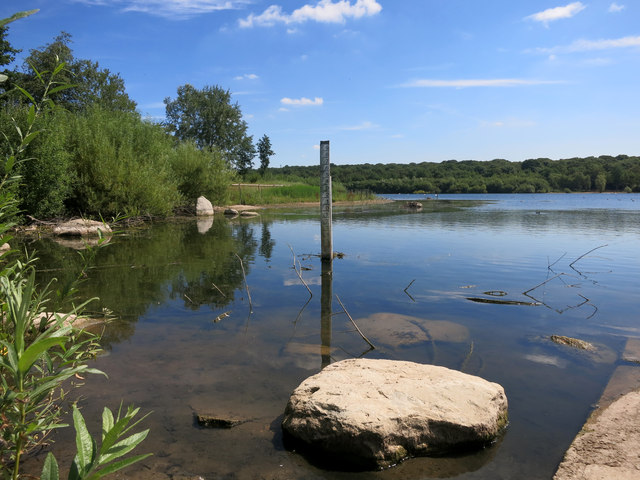
Image: © Des Blenkinsopp Taken: 16 Jul 2014
The lake is not kept filled to capacity due to concerns about flooding, but the mud marks on the gauge board show that it's often higher than this. Lido history on http://en.wikipedia.org/wiki/Ruislip_Lido
Images are licensed for reuse under creativecommons.org/licenses/by-sa/2.0
Image Location
Latitude
51.589936
Longitude
-0.433755