East side of the former Cymmer Congregational Chapel, Porth
Introduction
The photograph on this page of East side of the former Cymmer Congregational Chapel, Porth by Jaggery as part of the Geograph project.
The Geograph project started in 2005 with the aim of publishing, organising and preserving representative images for every square kilometre of Great Britain, Ireland and the Isle of Man.

There are currently over 7.5m images from over 14,400 individuals and you can help contribute to the project by visiting https://www.geograph.org.uk
East side of the former Cymmer Congregational Chapel, Porth
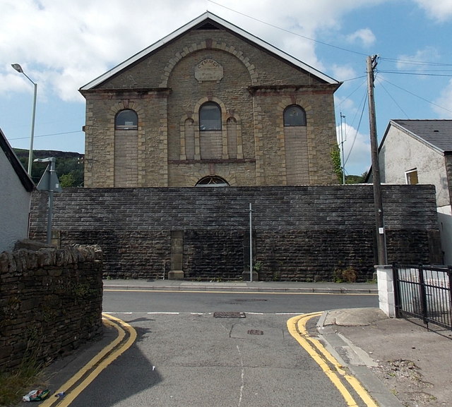
Image: © Jaggery Taken: 30 Jul 2014
Looking towards High Street from School Street. The inscription on a tablet above the central window is CYMMER CONGREGATIONAL CHAPEL BUILT A.D. 1870. The former chapel is now part of the R.A.Hulland premises. http://www.geograph.org.uk/photo/4100298
Images are licensed for reuse under creativecommons.org/licenses/by-sa/2.0
Image Location
Latitude
51.609183
Longitude
-3.409251