Punch Bowl crossroads
Introduction
The photograph on this page of Punch Bowl crossroads by David Stowell as part of the Geograph project.
The Geograph project started in 2005 with the aim of publishing, organising and preserving representative images for every square kilometre of Great Britain, Ireland and the Isle of Man.

There are currently over 7.5m images from over 14,400 individuals and you can help contribute to the project by visiting https://www.geograph.org.uk
Punch Bowl crossroads
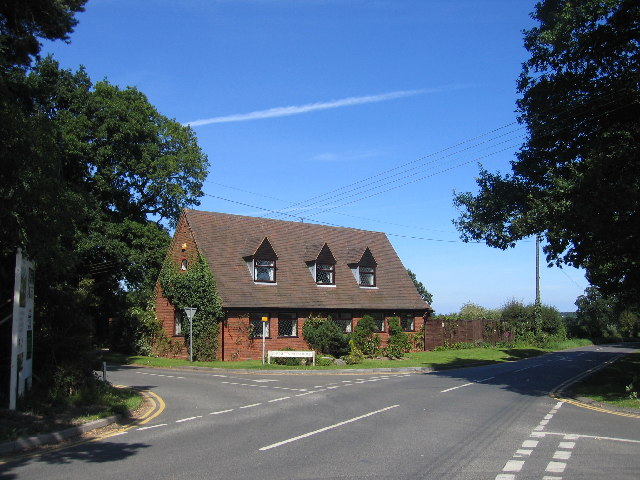
Image: © David Stowell Taken: 21 Aug 2005
Looking NNE with Chessetts Wood Road emerging from the left.
Images are licensed for reuse under creativecommons.org/licenses/by-sa/2.0
Image Location


Leaflet Map data © OpenStreetMap
Latitude
52.345768
Longitude
-1.731321