Lane to Warcombe
Introduction
The photograph on this page of Lane to Warcombe by Derek Harper as part of the Geograph project.
The Geograph project started in 2005 with the aim of publishing, organising and preserving representative images for every square kilometre of Great Britain, Ireland and the Isle of Man.

There are currently over 7.5m images from over 14,400 individuals and you can help contribute to the project by visiting https://www.geograph.org.uk
Lane to Warcombe
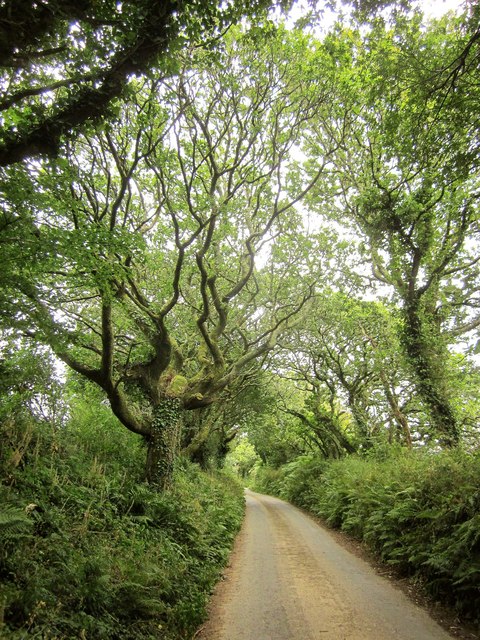
Image: © Derek Harper Taken: 31 Jul 2014
The lane from Wrinkley climbs beneath trees towards Lower Warcombe Cross. Image shows the view downhill behind the camera.
Images are licensed for reuse under creativecommons.org/licenses/by-sa/2.0
Image Location


Leaflet Map data © OpenStreetMap
Latitude
50.316567
Longitude
-3.781523