Hen heol ddiwyneb / Old unsurfaced Road
Introduction
The photograph on this page of Hen heol ddiwyneb / Old unsurfaced Road by Alan Richards as part of the Geograph project.
The Geograph project started in 2005 with the aim of publishing, organising and preserving representative images for every square kilometre of Great Britain, Ireland and the Isle of Man.

There are currently over 7.5m images from over 14,400 individuals and you can help contribute to the project by visiting https://www.geograph.org.uk
Hen heol ddiwyneb / Old unsurfaced Road
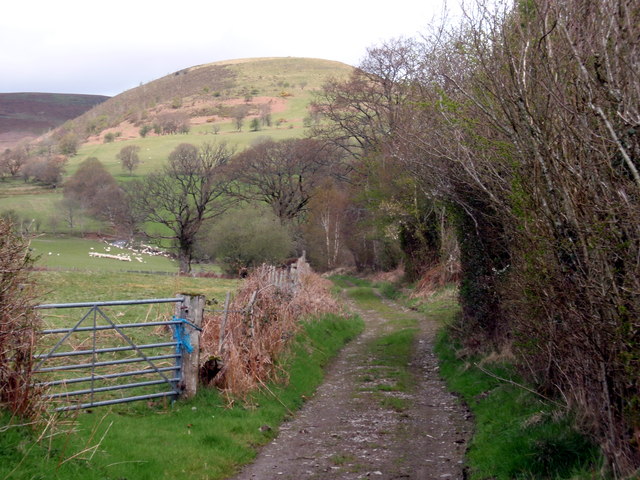
Image: © Alan Richards Taken: 20 Apr 2012
Hen heol ddiwyneb yn mynd i gyfeiriad Mynydd Mallaen. Old unsurfaced road going in the direction of Mynydd Mallaen (trans. plain of Llaen)
Images are licensed for reuse under creativecommons.org/licenses/by-sa/2.0
Image Location


Leaflet Map data © OpenStreetMap
Latitude
52.041406
Longitude
-3.839825