Track to the bomb storage area
Introduction
The photograph on this page of Track to the bomb storage area by Evelyn Simak as part of the Geograph project.
The Geograph project started in 2005 with the aim of publishing, organising and preserving representative images for every square kilometre of Great Britain, Ireland and the Isle of Man.

There are currently over 7.5m images from over 14,400 individuals and you can help contribute to the project by visiting https://www.geograph.org.uk
Track to the bomb storage area
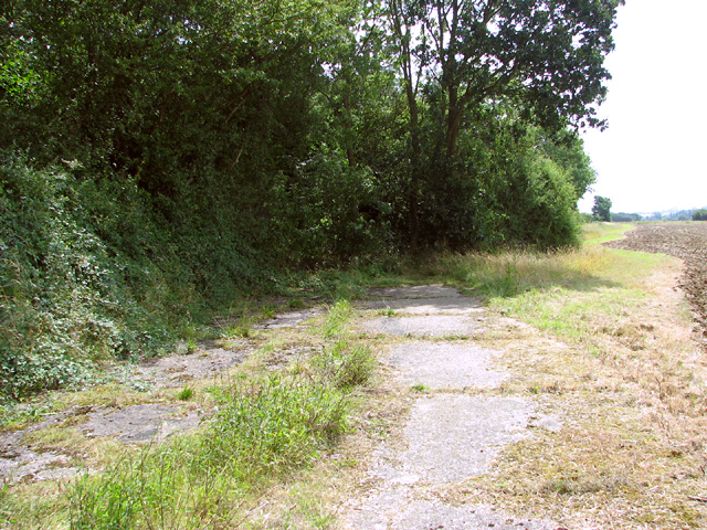
Image: © Evelyn Simak Taken: 31 Jul 2014
The concreted road leads into the bomb storage area used by RAF Wendling when it was an active airfield during WW2. The section of road seen here is overgrown and impassable.
Images are licensed for reuse under creativecommons.org/licenses/by-sa/2.0
Image Location
Latitude
52.691117
Longitude
0.856682