Path to the pavilion in Trebanog Field, Trebanog
Introduction
The photograph on this page of Path to the pavilion in Trebanog Field, Trebanog by Jaggery as part of the Geograph project.
The Geograph project started in 2005 with the aim of publishing, organising and preserving representative images for every square kilometre of Great Britain, Ireland and the Isle of Man.

There are currently over 7.5m images from over 14,400 individuals and you can help contribute to the project by visiting https://www.geograph.org.uk
Path to the pavilion in Trebanog Field, Trebanog
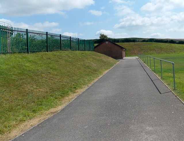
Image: © Jaggery Taken: 30 Jul 2014
Set back from the east side of the A4233 Trebanog Road, Trebanog Field is the home ground of Trebanog FC (Football Club). Formed in 2013, the club play in the Rhondda District Football League.
Images are licensed for reuse under creativecommons.org/licenses/by-sa/2.0
Image Location
Latitude
51.597086
Longitude
-3.420715