Road from Trebanog to Edmondstown and Williamstown
Introduction
The photograph on this page of Road from Trebanog to Edmondstown and Williamstown by Jaggery as part of the Geograph project.
The Geograph project started in 2005 with the aim of publishing, organising and preserving representative images for every square kilometre of Great Britain, Ireland and the Isle of Man.

There are currently over 7.5m images from over 14,400 individuals and you can help contribute to the project by visiting https://www.geograph.org.uk
Road from Trebanog to Edmondstown and Williamstown
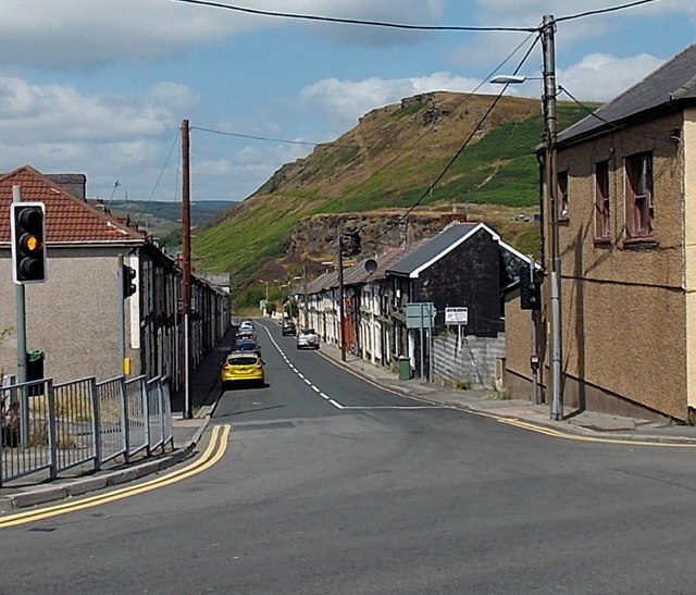
Image: © Jaggery Taken: 30 Jul 2014
Edmondstown Road heads away from the A4233 Trebanog Road, viewed from the corner of Rhiwgarn. The hill in the background is Mynydd y Cymmer.
Images are licensed for reuse under creativecommons.org/licenses/by-sa/2.0
Image Location
Latitude
51.601355
Longitude
-3.424603