Outbuildings, Grasmere Farm, Sutton-on-Trent
Introduction
The photograph on this page of Outbuildings, Grasmere Farm, Sutton-on-Trent by Alan Murray-Rust as part of the Geograph project.
The Geograph project started in 2005 with the aim of publishing, organising and preserving representative images for every square kilometre of Great Britain, Ireland and the Isle of Man.

There are currently over 7.5m images from over 14,400 individuals and you can help contribute to the project by visiting https://www.geograph.org.uk
Outbuildings, Grasmere Farm, Sutton-on-Trent
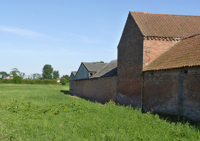
Image: © Alan Murray-Rust Taken: 24 Jul 2014
Taken to show the location of the flush bracket bench mark http://www.geograph.org.uk/photo/4098830. The bracket is just to the left of the downpipe. Fortunately - especially at this time of year - the vegetation was low enough to enable the bracket to be photographed from the public footpath. It is unclear why this particular spot was chosen for the bracket as it could have been more conveniently close to the road.
Images are licensed for reuse under creativecommons.org/licenses/by-sa/2.0
Image Location
Latitude
53.182831
Longitude
-0.812119