Moorhead Way, Kidbrooke
Introduction
The photograph on this page of Moorhead Way, Kidbrooke by Stephen Craven as part of the Geograph project.
The Geograph project started in 2005 with the aim of publishing, organising and preserving representative images for every square kilometre of Great Britain, Ireland and the Isle of Man.

There are currently over 7.5m images from over 14,400 individuals and you can help contribute to the project by visiting https://www.geograph.org.uk
Moorhead Way, Kidbrooke
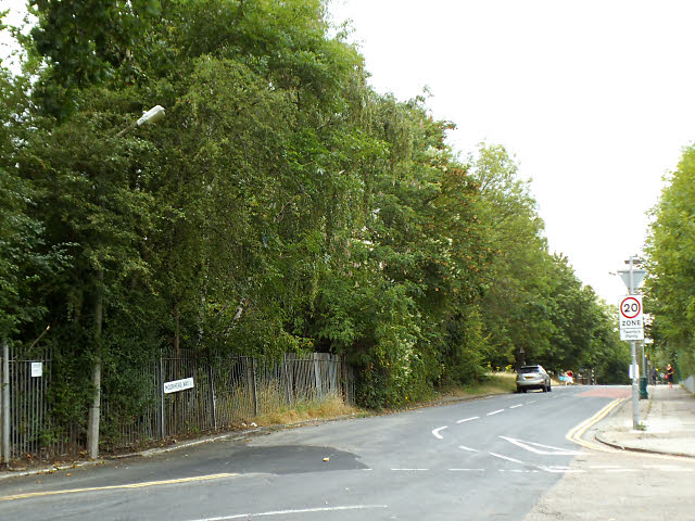
Image: © Stephen Craven Taken: 31 Jul 2014
This used to be the perimeter road of the Ferrier Estate. At present (2014) it has become a dead end, blocked off round the northern end for construction of new housing in the new Kidbrooke Village. See Image for an earlier view of this stretch of road in the other direction.
Images are licensed for reuse under creativecommons.org/licenses/by-sa/2.0
Image Location
Latitude
51.461216
Longitude
0.021483