Harbertonford - road from Crowdy Mill
Introduction
The photograph on this page of Harbertonford - road from Crowdy Mill by Chris Allen as part of the Geograph project.
The Geograph project started in 2005 with the aim of publishing, organising and preserving representative images for every square kilometre of Great Britain, Ireland and the Isle of Man.

There are currently over 7.5m images from over 14,400 individuals and you can help contribute to the project by visiting https://www.geograph.org.uk
Harbertonford - road from Crowdy Mill
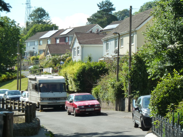
Image: © Chris Allen Taken: 10 Jul 2014
Crowdy Mill is down the road behind the photographer and this shows where the road narrows down as it leaves the residential area.
Images are licensed for reuse under creativecommons.org/licenses/by-sa/2.0
Image Location
Latitude
50.393717
Longitude
-3.704781