Bridleway Section of the North Downs Way
Introduction
The photograph on this page of Bridleway Section of the North Downs Way by James Emmans as part of the Geograph project.
The Geograph project started in 2005 with the aim of publishing, organising and preserving representative images for every square kilometre of Great Britain, Ireland and the Isle of Man.

There are currently over 7.5m images from over 14,400 individuals and you can help contribute to the project by visiting https://www.geograph.org.uk
Bridleway Section of the North Downs Way
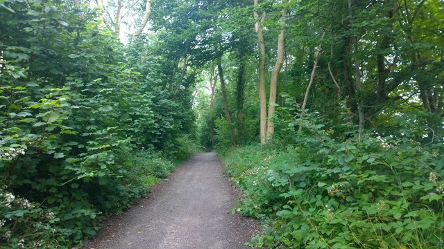
Image: © James Emmans Taken: 12 Jul 2014
Quite a long section runs through dense woodland with a few glimpses of field along the way.
Images are licensed for reuse under creativecommons.org/licenses/by-sa/2.0
Image Location
Latitude
51.206556
Longitude
0.816368