Work on flood defences
Introduction
The photograph on this page of Work on flood defences by Lairich Rig as part of the Geograph project.
The Geograph project started in 2005 with the aim of publishing, organising and preserving representative images for every square kilometre of Great Britain, Ireland and the Isle of Man.

There are currently over 7.5m images from over 14,400 individuals and you can help contribute to the project by visiting https://www.geograph.org.uk
Work on flood defences
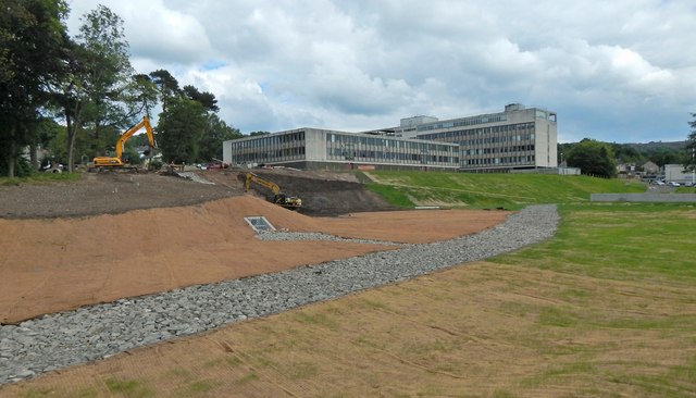
Image: © Lairich Rig Taken: 27 Jun 2014
The picture shows the construction of flood defences on the Knowle Burn at Garshake. Image are in the background. See Image and Image for later views.
Images are licensed for reuse under creativecommons.org/licenses/by-sa/2.0
Image Location
Latitude
55.948841
Longitude
-4.548164