Edmondstown Road, Trebanog
Introduction
The photograph on this page of Edmondstown Road, Trebanog by Jaggery as part of the Geograph project.
The Geograph project started in 2005 with the aim of publishing, organising and preserving representative images for every square kilometre of Great Britain, Ireland and the Isle of Man.

There are currently over 7.5m images from over 14,400 individuals and you can help contribute to the project by visiting https://www.geograph.org.uk
Edmondstown Road, Trebanog
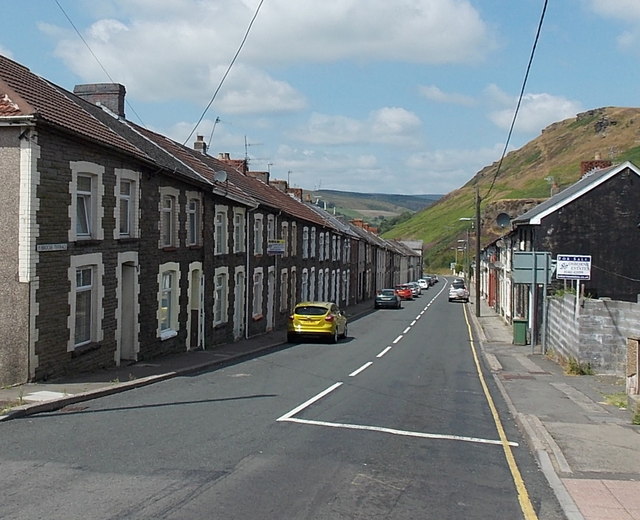
Image: © Jaggery Taken: 30 Jul 2014
The road to Edmondstown heads WNW away from the A4233 Trebanog Road. The nameplate on the left side of the row of houses shows Brocks Terrace.
Images are licensed for reuse under creativecommons.org/licenses/by-sa/2.0
Image Location
Latitude
51.601177
Longitude
-3.424453