Brimfield
Introduction
The photograph on this page of Brimfield by Richard Webb as part of the Geograph project.
The Geograph project started in 2005 with the aim of publishing, organising and preserving representative images for every square kilometre of Great Britain, Ireland and the Isle of Man.

There are currently over 7.5m images from over 14,400 individuals and you can help contribute to the project by visiting https://www.geograph.org.uk
Brimfield
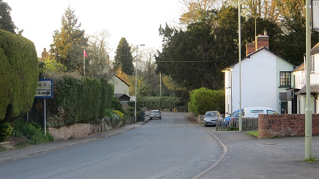
Image: © Richard Webb Taken: 9 Apr 2014
The former A49 is now a quiet village street. There used to be two shops here: Francis and a VG franchise. The pub (Roebuck) survives and is also home to the post office.
Images are licensed for reuse under creativecommons.org/licenses/by-sa/2.0
Image Location
Latitude
52.307069
Longitude
-2.696479