Approach to Parkend station in 2008
Introduction
The photograph on this page of Approach to Parkend station in 2008 by John Winder as part of the Geograph project.
The Geograph project started in 2005 with the aim of publishing, organising and preserving representative images for every square kilometre of Great Britain, Ireland and the Isle of Man.

There are currently over 7.5m images from over 14,400 individuals and you can help contribute to the project by visiting https://www.geograph.org.uk
Approach to Parkend station in 2008
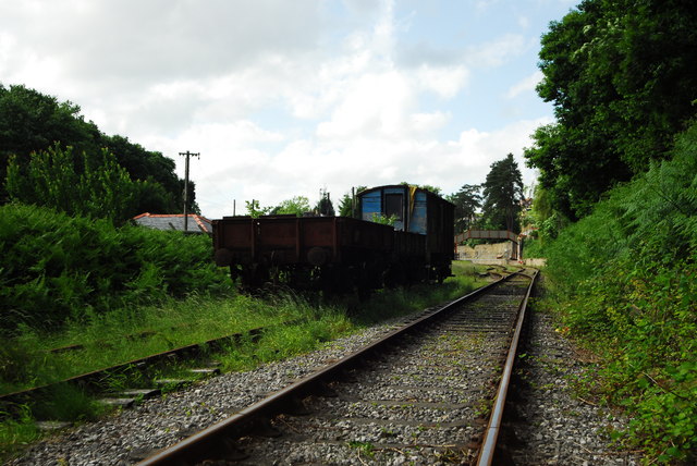
Image: © John Winder Taken: 22 Jun 2008
Fourteen years on from my previous view of this location Image, here's a shot of how it looks now. A footpath crosses the line at this point.
Images are licensed for reuse under creativecommons.org/licenses/by-sa/2.0
Image Location
Latitude
51.767381
Longitude
-2.555834