The line of the former Bourne & Sleaford Railway
Introduction
The photograph on this page of The line of the former Bourne & Sleaford Railway by Marathon as part of the Geograph project.
The Geograph project started in 2005 with the aim of publishing, organising and preserving representative images for every square kilometre of Great Britain, Ireland and the Isle of Man.

There are currently over 7.5m images from over 14,400 individuals and you can help contribute to the project by visiting https://www.geograph.org.uk
The line of the former Bourne & Sleaford Railway
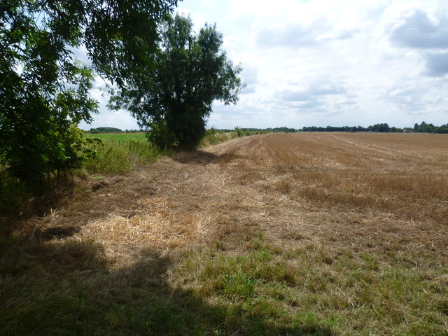
Image: © Marathon Taken: 28 Jul 2014
The Bourne & Sleaford Railway arose out of a proposal by the Great Eastern Railway to open a line from Cambridge to York, via Essendine, Bourne, Sleaford and Lincoln. Parliament though refused to authorise it. The Great Northern Railway had already proposed the Bourne to Sleaford section and opened this in 1872. The line closed to passengers in 1930, although the section from Bourne through Rippingale to Billingborough remained open for goods until 1964. This section of line had therefore been closed 50 years when I photographed it. The line followed the left hand side of this field on its way to Rippingale - see http://www.geograph.org.uk/photo/3966050
Images are licensed for reuse under creativecommons.org/licenses/by-sa/2.0
Image Location
Latitude
52.88078
Longitude
-0.339793