Row of houses in Rhiwgarn, Trebanog
Introduction
The photograph on this page of Row of houses in Rhiwgarn, Trebanog by Jaggery as part of the Geograph project.
The Geograph project started in 2005 with the aim of publishing, organising and preserving representative images for every square kilometre of Great Britain, Ireland and the Isle of Man.

There are currently over 7.5m images from over 14,400 individuals and you can help contribute to the project by visiting https://www.geograph.org.uk
Row of houses in Rhiwgarn, Trebanog
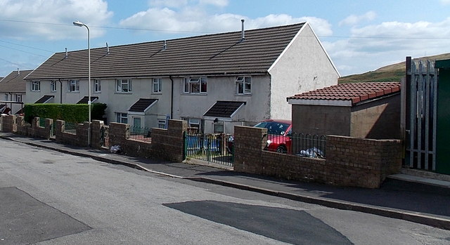
Image: © Jaggery Taken: 30 Jul 2014
The dark green edge of an electricity substation http://www.geograph.org.uk/photo/4096721 is on the right. The houses are near the eastern edge of housing in Rhiwgarn, located east of the main road through Trebanog. The elevation here is about 260 metres (c 850ft) above sea level. Fine views can be had from many locations hereabouts.
Images are licensed for reuse under creativecommons.org/licenses/by-sa/2.0
Image Location
Latitude
51.599403
Longitude
-3.415012