Forge Lane near Moorgate Hollow
Introduction
The photograph on this page of Forge Lane near Moorgate Hollow by Jonathan Clitheroe as part of the Geograph project.
The Geograph project started in 2005 with the aim of publishing, organising and preserving representative images for every square kilometre of Great Britain, Ireland and the Isle of Man.

There are currently over 7.5m images from over 14,400 individuals and you can help contribute to the project by visiting https://www.geograph.org.uk
Forge Lane near Moorgate Hollow
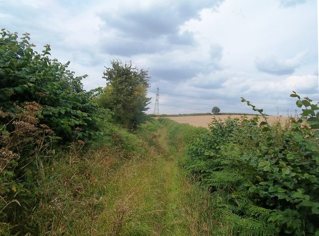
Image: © Jonathan Clitheroe Taken: 26 Jul 2014
Bridleway which also forms part of the Archaeological Way. The forge reference relates to the early industrial activities which took place nearby in Pleasley Vale.
Images are licensed for reuse under creativecommons.org/licenses/by-sa/2.0
Image Location
Latitude
53.18839
Longitude
-1.239102