Decaying former Cymmer Chapel, Porth
Introduction
The photograph on this page of Decaying former Cymmer Chapel, Porth by Jaggery as part of the Geograph project.
The Geograph project started in 2005 with the aim of publishing, organising and preserving representative images for every square kilometre of Great Britain, Ireland and the Isle of Man.

There are currently over 7.5m images from over 14,400 individuals and you can help contribute to the project by visiting https://www.geograph.org.uk
Decaying former Cymmer Chapel, Porth
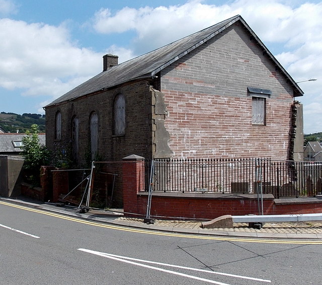
Image: © Jaggery Taken: 30 Jul 2014
Located in High Street, opposite The Rhondda. http://www.geograph.org.uk/photo/4096532 Partly hidden by weeds in July 2014, a blue plaque is on the wall on the left side of the fenced-off building. It records that Cymmer Chapel, built in 1743, rebuilt in 1834, was the earliest Nonconformist Chapel built in the Rhondda Valleys.
Images are licensed for reuse under creativecommons.org/licenses/by-sa/2.0
Image Location
Latitude
51.608826
Longitude
-3.409095