Llwybr Blaen y Nant / Blaen y Nant path
Introduction
The photograph on this page of Llwybr Blaen y Nant / Blaen y Nant path by Alan Richards as part of the Geograph project.
The Geograph project started in 2005 with the aim of publishing, organising and preserving representative images for every square kilometre of Great Britain, Ireland and the Isle of Man.

There are currently over 7.5m images from over 14,400 individuals and you can help contribute to the project by visiting https://www.geograph.org.uk
Llwybr Blaen y Nant / Blaen y Nant path
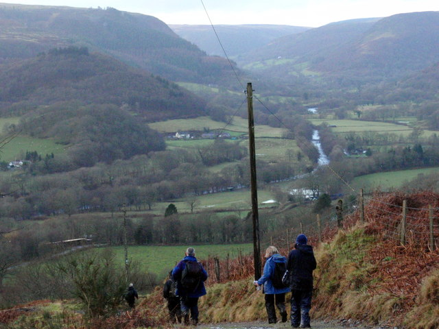
Image: © Alan Richards Taken: 6 Dec 2009
Cerddwyr yn dilyn llwybr cyhoeddus i lawr at yr heol o gyfeiriad Blaen y Nant. Yn y pellter mae Dyffryn Tywi Uchaf. Walkers following a path as it descends from Blaen y Nant Farm (trans. source of stream) towards the road. The Upper Tywi Valley can be seen in the distance.
Images are licensed for reuse under creativecommons.org/licenses/by-sa/2.0
Image Location


Leaflet Map data © OpenStreetMap
Latitude
52.065693
Longitude
-3.768752