Grass path to Thirlings
Introduction
The photograph on this page of Grass path to Thirlings by Lisa Jarvis as part of the Geograph project.
The Geograph project started in 2005 with the aim of publishing, organising and preserving representative images for every square kilometre of Great Britain, Ireland and the Isle of Man.

There are currently over 7.5m images from over 14,400 individuals and you can help contribute to the project by visiting https://www.geograph.org.uk
Grass path to Thirlings
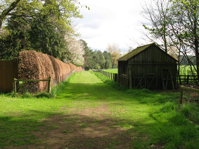
Image: © Lisa Jarvis Taken: 22 Apr 2007
Cropmarks of six rectangular buildings were discovered by aerial photography at Thirlings. Excavations between 1973 and 1981 found they were built of timber and were similar to others found in the area that dated to the sixth or seventh centuries. Finds including an Anglo-Saxon knife and pottery suggest that this was a small Anglo-Saxon settlement although Neolithic pottery was also found.
Images are licensed for reuse under creativecommons.org/licenses/by-sa/2.0
Image Location


Leaflet Map data © OpenStreetMap
Latitude
55.585316
Longitude
-2.065491