St Helen's Primary School
Introduction
The photograph on this page of St Helen's Primary School by Raymond Okonski as part of the Geograph project.
The Geograph project started in 2005 with the aim of publishing, organising and preserving representative images for every square kilometre of Great Britain, Ireland and the Isle of Man.

There are currently over 7.5m images from over 14,400 individuals and you can help contribute to the project by visiting https://www.geograph.org.uk
St Helen's Primary School
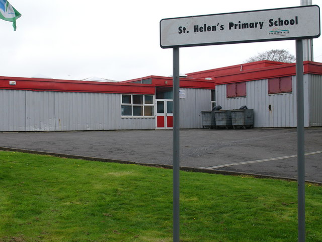
Image: © Raymond Okonski Taken: 22 Apr 2007
Situated directly opposite the former Thomas Muir High School (temporarily renamed St Ninian's High School before this is demolished to be replaced by the new Bishopbriggs Academy). This must be the first time that a primary school had its secondary school move closer - albeit temporarily.
Images are licensed for reuse under creativecommons.org/licenses/by-sa/2.0
Image Location
Latitude
55.909952
Longitude
-4.201902