Near Middleton
Introduction
The photograph on this page of Near Middleton by Anne Burgess as part of the Geograph project.
The Geograph project started in 2005 with the aim of publishing, organising and preserving representative images for every square kilometre of Great Britain, Ireland and the Isle of Man.

There are currently over 7.5m images from over 14,400 individuals and you can help contribute to the project by visiting https://www.geograph.org.uk
Near Middleton
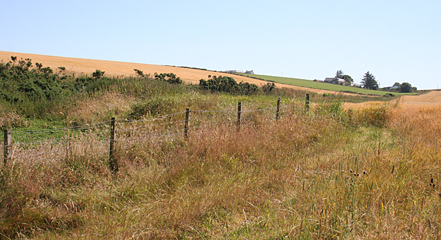
Image: © Anne Burgess Taken: 25 Jul 2014
The rough vegetation is along the drainage ditch below Blackhillocks Cottage, which is on the horizon.
Images are licensed for reuse under creativecommons.org/licenses/by-sa/2.0
Image Location
Latitude
57.672088
Longitude
-2.299063