Footpath towards Leigh Green
Introduction
The photograph on this page of Footpath towards Leigh Green by Robin Webster as part of the Geograph project.
The Geograph project started in 2005 with the aim of publishing, organising and preserving representative images for every square kilometre of Great Britain, Ireland and the Isle of Man.

There are currently over 7.5m images from over 14,400 individuals and you can help contribute to the project by visiting https://www.geograph.org.uk
Footpath towards Leigh Green
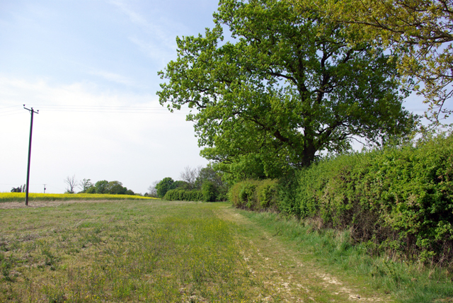
Image: © Robin Webster Taken: 22 Apr 2007
The trees at the end of the hedge line are associated with a house called Tassels, where the footpath has been diverted away from the line shown on current OS maps and away from the house.
Images are licensed for reuse under creativecommons.org/licenses/by-sa/2.0
Image Location


Leaflet Map data © OpenStreetMap
Latitude
51.058221
Longitude
0.722292