Platform House, Laugharne
Introduction
The photograph on this page of Platform House, Laugharne by Jaggery as part of the Geograph project.
The Geograph project started in 2005 with the aim of publishing, organising and preserving representative images for every square kilometre of Great Britain, Ireland and the Isle of Man.

There are currently over 7.5m images from over 14,400 individuals and you can help contribute to the project by visiting https://www.geograph.org.uk
Platform House, Laugharne
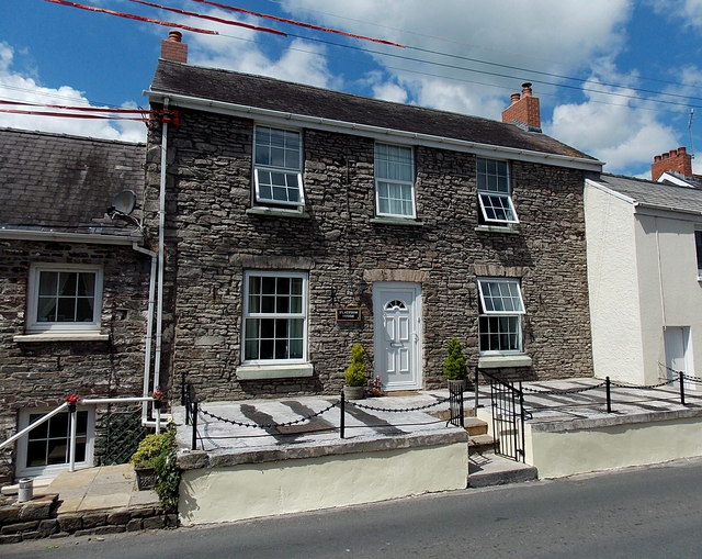
Image: © Jaggery Taken: 21 Jul 2014
On seeing the name of this Clifton Street house, I wondered if it had any connection with a former railway station in Laugharne. Research has not found any such railway station. The nearest one, in St Clears, closed in 1964. The explanation of the house name may simply be that it is built on a platform slightly above road level, though that is not the case for Platform Cottage, its neighbour on the right.
Images are licensed for reuse under creativecommons.org/licenses/by-sa/2.0
Image Location


Leaflet Map data © OpenStreetMap
Latitude
51.773182
Longitude
-4.46321