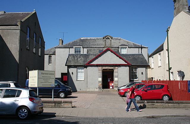
Former Trinity Free Kirk Hall, Castle Street
Introduction
The photograph on this page of Former Trinity Free Kirk Hall, Castle Street by Anne Burgess as part of the Geograph project.
The Geograph project started in 2005 with the aim of publishing, organising and preserving representative images for every square kilometre of Great Britain, Ireland and the Isle of Man.
There are currently over 7.5m images from over 14,400 individuals and you can help contribute to the project by visiting https://www.geograph.org.uk

Image: © Anne Burgess Taken: 25 Jul 2014
This building is marked on the mid-Victorian six-inch Ordnance Survey map as a school, and as such must have been associated with the Trinity and Alvah Free Kirk next door. Both buildings are now run as Riverside Church by Harvest Ministries, a small independent Christian denomination. See http://www.harvestministries.org.uk/Groups/129403/Harvest_Ministries/Riverside_Banff/About_Us/About_Us.aspx

