Heading Up The Track
Introduction
The photograph on this page of Heading Up The Track by Rude Health as part of the Geograph project.
The Geograph project started in 2005 with the aim of publishing, organising and preserving representative images for every square kilometre of Great Britain, Ireland and the Isle of Man.

There are currently over 7.5m images from over 14,400 individuals and you can help contribute to the project by visiting https://www.geograph.org.uk
Heading Up The Track
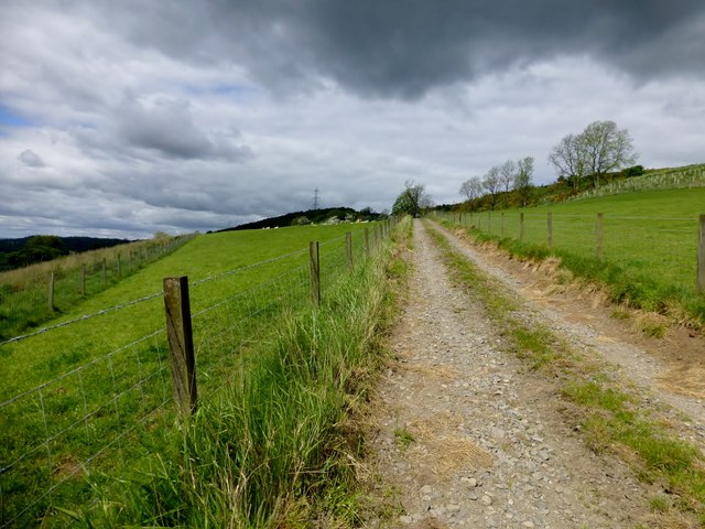
Image: © Rude Health Taken: 23 May 2014
We used this track on our route to bag Mailer Hill trig point.
Images are licensed for reuse under creativecommons.org/licenses/by-sa/2.0
Image Location
Latitude
56.366854
Longitude
-3.45963