Saxby Road, Burgess Hill
Introduction
The photograph on this page of Saxby Road, Burgess Hill by Simon Carey as part of the Geograph project.
The Geograph project started in 2005 with the aim of publishing, organising and preserving representative images for every square kilometre of Great Britain, Ireland and the Isle of Man.

There are currently over 7.5m images from over 14,400 individuals and you can help contribute to the project by visiting https://www.geograph.org.uk
Saxby Road, Burgess Hill
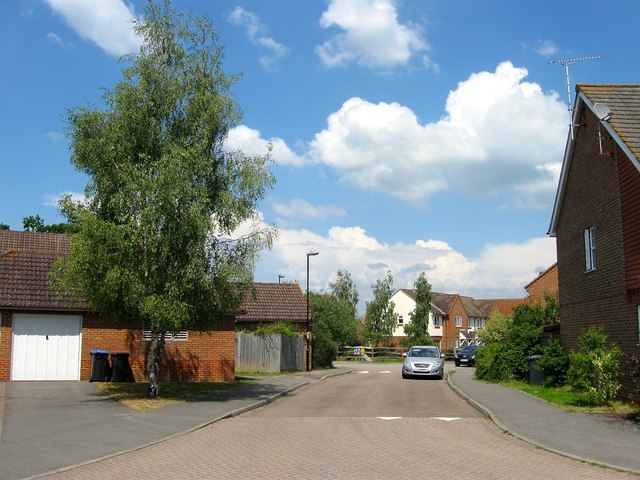
Image: © Simon Carey Taken: 25 Jul 2014
Residential road that runs between Bayliss Crescent and Sussex Way that was built in the 1990s. Next to the playground in the distance is the junction with Image
Images are licensed for reuse under creativecommons.org/licenses/by-sa/2.0
Image Location
Latitude
50.964408
Longitude
-0.150408