Malthouse Lane
Introduction
The photograph on this page of Malthouse Lane by Simon Carey as part of the Geograph project.
The Geograph project started in 2005 with the aim of publishing, organising and preserving representative images for every square kilometre of Great Britain, Ireland and the Isle of Man.

There are currently over 7.5m images from over 14,400 individuals and you can help contribute to the project by visiting https://www.geograph.org.uk
Malthouse Lane
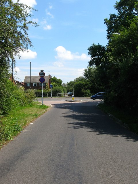
Image: © Simon Carey Taken: 25 Jul 2014
The highway starts as College Lane in Hurstpierpoint then heads north changing to Malthouse Lane at the junction with Chalkers Lane next to Hurstpierpoint College. Originally the road headed eastwards and ended at the junction with West Street and Royal George Road. However, since the 1990s Burgess Hill has extended westwards into the old parish of Hurstpierpoint, a new bypass, the jane Murray Way, was built and new housing estates sprung up on the eastern side of it. As a consequence, Malthouse Lane as a through road, ends on the bypass, though it continues eastward beyond.
Images are licensed for reuse under creativecommons.org/licenses/by-sa/2.0
Image Location
Latitude
50.959503
Longitude
-0.158719