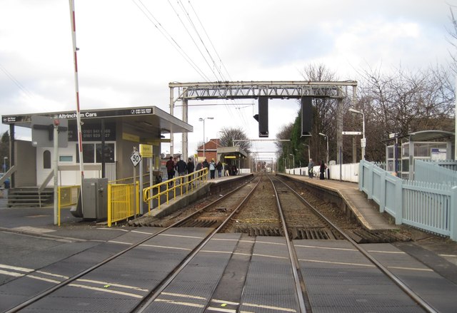
Navigation Road railway & Metrolink station, Greater Manchester
Introduction
The photograph on this page of Navigation Road railway & Metrolink station, Greater Manchester by Nigel Thompson as part of the Geograph project.
The Geograph project started in 2005 with the aim of publishing, organising and preserving representative images for every square kilometre of Great Britain, Ireland and the Isle of Man.
There are currently over 7.5m images from over 14,400 individuals and you can help contribute to the project by visiting https://www.geograph.org.uk

Image: © Nigel Thompson Taken: 11 Dec 2010
Opened in 1849 by the Manchester South Junction & Altrincham Railway on the line from Manchester London Road (now Piccadilly) to Altrincham, this station partially converted to Metrolink operation in 1992, which is why the electric overhead wires serve only the one platform that trams serve. View north towards Timperley and Central Manchester

