Hova Villas
Introduction
The photograph on this page of Hova Villas by Simon Carey as part of the Geograph project.
The Geograph project started in 2005 with the aim of publishing, organising and preserving representative images for every square kilometre of Great Britain, Ireland and the Isle of Man.

There are currently over 7.5m images from over 14,400 individuals and you can help contribute to the project by visiting https://www.geograph.org.uk
Hova Villas
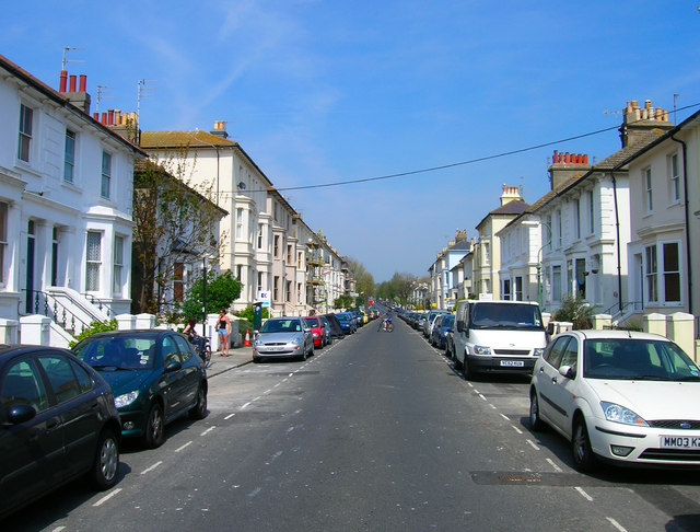
Image: © Simon Carey Taken: 22 Apr 2007
This part of Hove was originally known as Cliftonville and was developed by a consortium of business men in the 1850s. However, development was piecemeal as can be seen in the differing styles in this street. Hova Villas runs between Church Road and Blatchington Road.
Images are licensed for reuse under creativecommons.org/licenses/by-sa/2.0
Image Location
Latitude
50.829753
Longitude
-0.171639