Cotswold Way and view towards Chipping Campden
Introduction
The photograph on this page of Cotswold Way and view towards Chipping Campden by Trevor Harris as part of the Geograph project.
The Geograph project started in 2005 with the aim of publishing, organising and preserving representative images for every square kilometre of Great Britain, Ireland and the Isle of Man.

There are currently over 7.5m images from over 14,400 individuals and you can help contribute to the project by visiting https://www.geograph.org.uk
Cotswold Way and view towards Chipping Campden
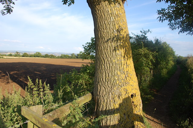
Image: © Trevor Harris Taken: 20 Jul 2014
The Cotswold Way (on the right here) leaving Dover's Hill towards the path's northern end at Chipping Campden.
Images are licensed for reuse under creativecommons.org/licenses/by-sa/2.0
Image Location
Latitude
52.057303
Longitude
-1.794309