A former pub on Lansdowne Road?
Introduction
The photograph on this page of A former pub on Lansdowne Road? by Ian S as part of the Geograph project.
The Geograph project started in 2005 with the aim of publishing, organising and preserving representative images for every square kilometre of Great Britain, Ireland and the Isle of Man.

There are currently over 7.5m images from over 14,400 individuals and you can help contribute to the project by visiting https://www.geograph.org.uk
A former pub on Lansdowne Road?
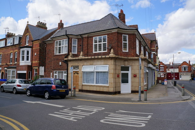
Image: © Ian S Taken: 27 Jul 2014
This house on the corner of Clarence Road looks like it was once a Public House.
Images are licensed for reuse under creativecommons.org/licenses/by-sa/2.0
Image Location
Latitude
54.08518
Longitude
-0.189043