Towards the SE end of Mendalgief Road, Newport
Introduction
The photograph on this page of Towards the SE end of Mendalgief Road, Newport by Jaggery as part of the Geograph project.
The Geograph project started in 2005 with the aim of publishing, organising and preserving representative images for every square kilometre of Great Britain, Ireland and the Isle of Man.

There are currently over 7.5m images from over 14,400 individuals and you can help contribute to the project by visiting https://www.geograph.org.uk
Towards the SE end of Mendalgief Road, Newport
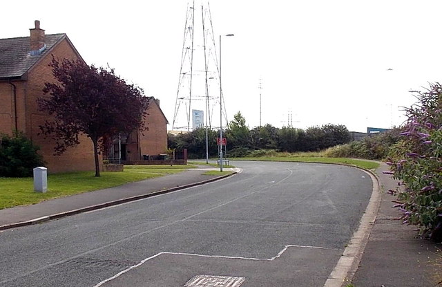
Image: © Jaggery Taken: 20 Jul 2014
This now quiet route is part of the Wales Coast Path. Formerly it was a through route for motor vehicles, to Alexandra Road via Watch House Parade. In 2014, out of shot ahead, concrete posts block vehicular access between Watch House Parade and Alexandra Road.
Images are licensed for reuse under creativecommons.org/licenses/by-sa/2.0
Image Location
Latitude
51.570386
Longitude
-2.991482