Over Compton
Introduction
The photograph on this page of Over Compton by Mike Searle as part of the Geograph project.
The Geograph project started in 2005 with the aim of publishing, organising and preserving representative images for every square kilometre of Great Britain, Ireland and the Isle of Man.

There are currently over 7.5m images from over 14,400 individuals and you can help contribute to the project by visiting https://www.geograph.org.uk
Over Compton
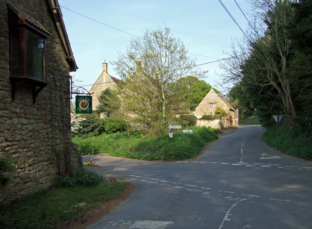
Image: © Mike Searle Taken: 21 Apr 2007
The view is of the crossroads in the village from the Yeovil road, left to Trent, right to the main A30, and ahead to Nether Compton.
Images are licensed for reuse under creativecommons.org/licenses/by-sa/2.0
Image Location
Latitude
50.949691
Longitude
-2.588015