Cattle near Craigieley
Introduction
The photograph on this page of Cattle near Craigieley by Anne Burgess as part of the Geograph project.
The Geograph project started in 2005 with the aim of publishing, organising and preserving representative images for every square kilometre of Great Britain, Ireland and the Isle of Man.

There are currently over 7.5m images from over 14,400 individuals and you can help contribute to the project by visiting https://www.geograph.org.uk
Cattle near Craigieley
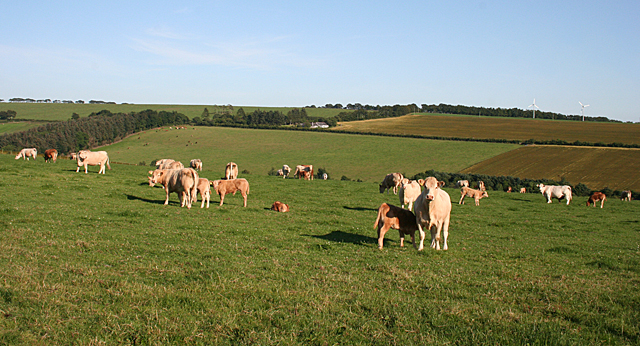
Image: © Anne Burgess Taken: 22 Jul 2014
In the distance, on the far side of the glen containing the Burn of Balquholly, is Lendrum Hill on the skyline.
Images are licensed for reuse under creativecommons.org/licenses/by-sa/2.0
Image Location
Latitude
57.501254
Longitude
-2.392941