Mill of Backmill
Introduction
The photograph on this page of Mill of Backmill by Anne Burgess as part of the Geograph project.
The Geograph project started in 2005 with the aim of publishing, organising and preserving representative images for every square kilometre of Great Britain, Ireland and the Isle of Man.

There are currently over 7.5m images from over 14,400 individuals and you can help contribute to the project by visiting https://www.geograph.org.uk
Mill of Backmill
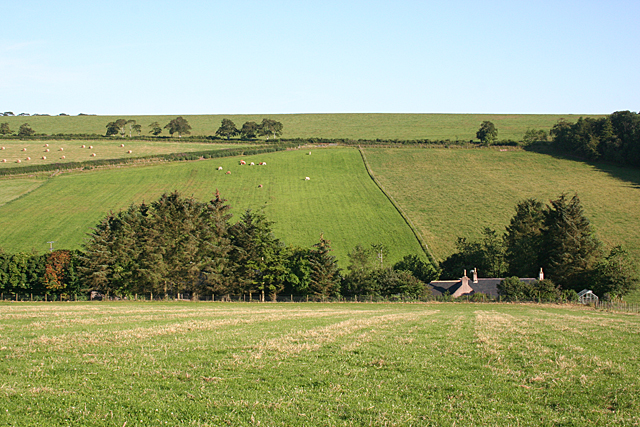
Image: © Anne Burgess Taken: 22 Jul 2014
The mill is sited on the Burn of Balquholly. A minor road links Backmill and Broadgreen via Mill of Backmill to the not-so-minor road above. The road junction is the narrow V-shaped feature above the cattle and to the right of the bales.
Images are licensed for reuse under creativecommons.org/licenses/by-sa/2.0
Image Location
Latitude
57.501196
Longitude
-2.382595