Barley Crop
Introduction
The photograph on this page of Barley Crop by Anne Burgess as part of the Geograph project.
The Geograph project started in 2005 with the aim of publishing, organising and preserving representative images for every square kilometre of Great Britain, Ireland and the Isle of Man.

There are currently over 7.5m images from over 14,400 individuals and you can help contribute to the project by visiting https://www.geograph.org.uk
Barley Crop
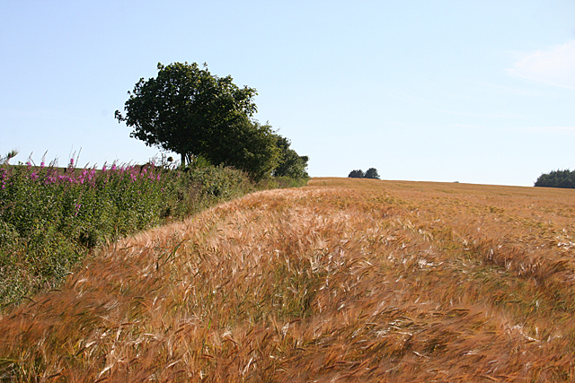
Image: © Anne Burgess Taken: 22 Jul 2014
Late afternoon sunshine gives a red-gold glow to this crop of barley. The Fireweed and trees on the left mark the line of what is shown on maps as a track, but is definitely not passable now.
Images are licensed for reuse under creativecommons.org/licenses/by-sa/2.0
Image Location
Latitude
57.536534
Longitude
-2.338371