Trig point with High House
Introduction
The photograph on this page of Trig point with High House by Trevor Littlewood as part of the Geograph project.
The Geograph project started in 2005 with the aim of publishing, organising and preserving representative images for every square kilometre of Great Britain, Ireland and the Isle of Man.

There are currently over 7.5m images from over 14,400 individuals and you can help contribute to the project by visiting https://www.geograph.org.uk
Trig point with High House
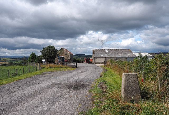
Image: © Trevor Littlewood Taken: 27 Jul 2014
The foreground trig point is known to the OS as Blue House. High House and its associated buildings lie beyond.
Images are licensed for reuse under creativecommons.org/licenses/by-sa/2.0
Image Location
Latitude
54.63276
Longitude
-1.810202