Pomper Lane
Introduction
The photograph on this page of Pomper Lane by Simon Carey as part of the Geograph project.
The Geograph project started in 2005 with the aim of publishing, organising and preserving representative images for every square kilometre of Great Britain, Ireland and the Isle of Man.

There are currently over 7.5m images from over 14,400 individuals and you can help contribute to the project by visiting https://www.geograph.org.uk
Pomper Lane
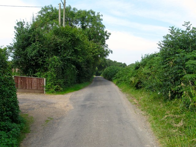
Image: © Simon Carey Taken: 25 Jul 2014
Narrow single track lane that runs westwards from Danworth Lane to Northend Lane crossing Cuckfield Road along the way.
Images are licensed for reuse under creativecommons.org/licenses/by-sa/2.0
Image Location
Latitude
50.955907
Longitude
-0.170252