Five Acres
Introduction
The photograph on this page of Five Acres by Simon Carey as part of the Geograph project.
The Geograph project started in 2005 with the aim of publishing, organising and preserving representative images for every square kilometre of Great Britain, Ireland and the Isle of Man.

There are currently over 7.5m images from over 14,400 individuals and you can help contribute to the project by visiting https://www.geograph.org.uk
Five Acres
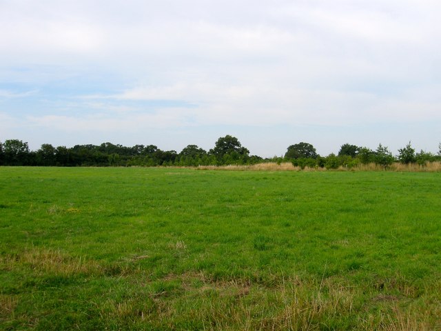
Image: © Simon Carey Taken: 25 Jul 2014
The name of the field according to Hurstpierpoint's 1842 tithe map that is bounded by Eastlands Farm to the north, Image to the south, Image to the east and Malthouse Lane to the west. Now part of Burgess Hill Green Circle, areas of open space on the edge of the town open to public access.
Images are licensed for reuse under creativecommons.org/licenses/by-sa/2.0
Image Location
Latitude
50.955924
Longitude
-0.159857